An eruption may occur at any level, and levels may not move in sequence as activity can change rapidly.
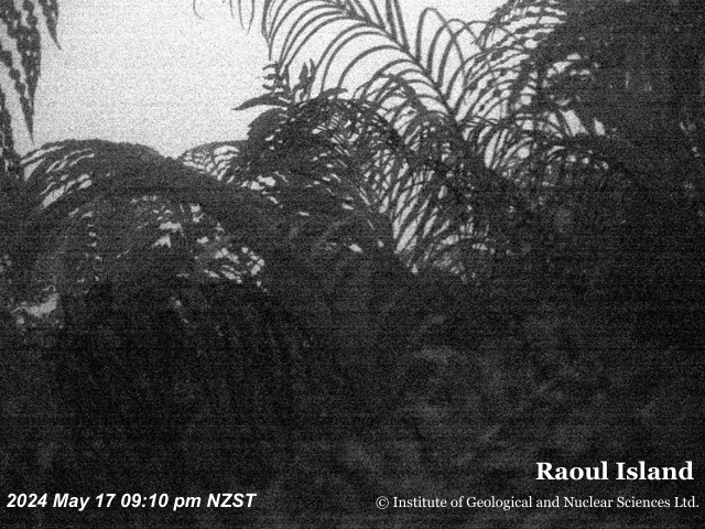
All volcanoesLatest still images from our monitoring cameras viewing the volcano. These are updated periodically, but visibility can be affected by weather and time of day.
Click the image to see a larger version or view all camera images.
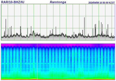
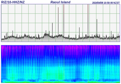
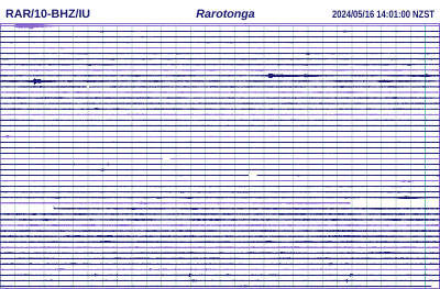
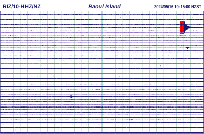
A live view of ground motion from a single seismograph station near the volcano. Spikes in the data represent earthquakes or volcanic tremor.
Click the image to see a larger version and navigate through past charts or view all drum images.
This chart shows trends in the volcano's seismic energy (RSAM) and tremor type (SSAM). Our scientists use this data to track volcanic unrest by looking for significant changes.
Click the image to see a larger version and navigate through past charts or view all RSAM & SSAM charts.