GeoNet beta

You're viewing phase one of the GeoNet beta site. Features and content may change. Read this news article to find out what's happening. www.geonet.org.nz continues to run as usual.

Earthquake Drums

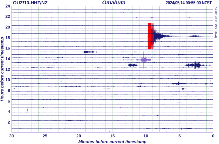
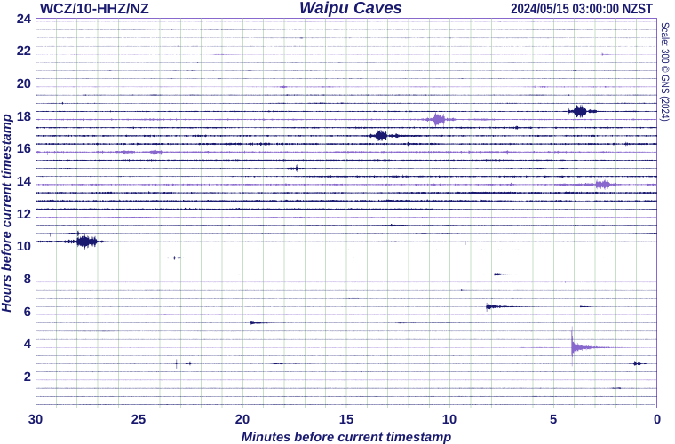
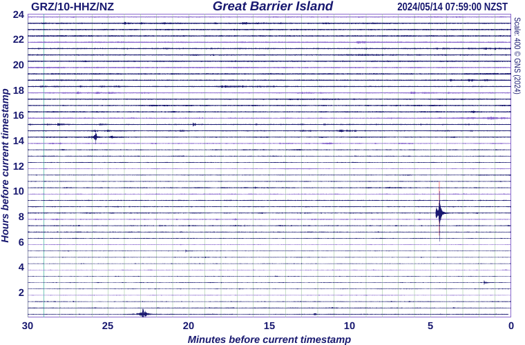
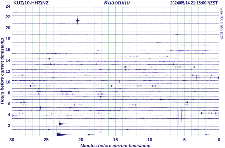
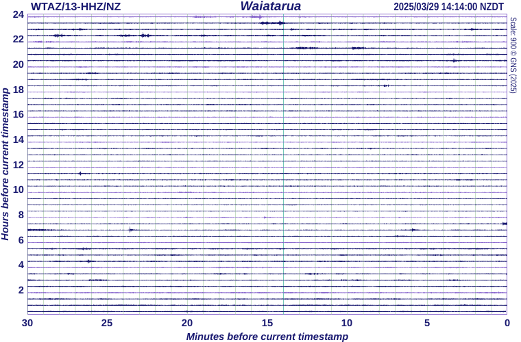
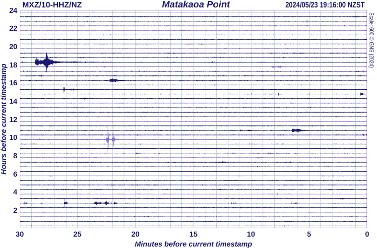
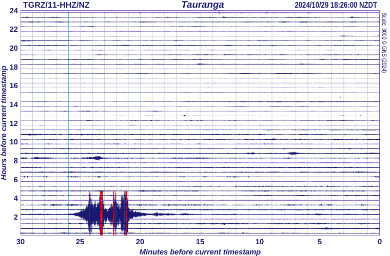
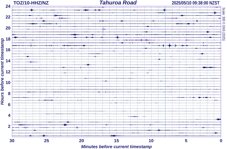
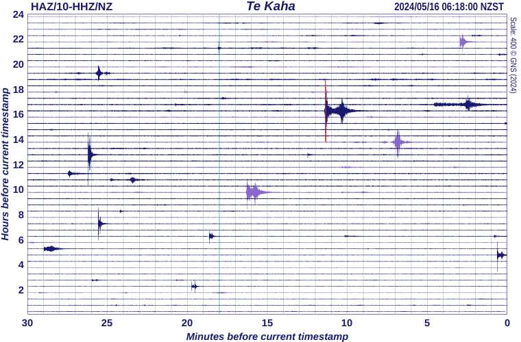
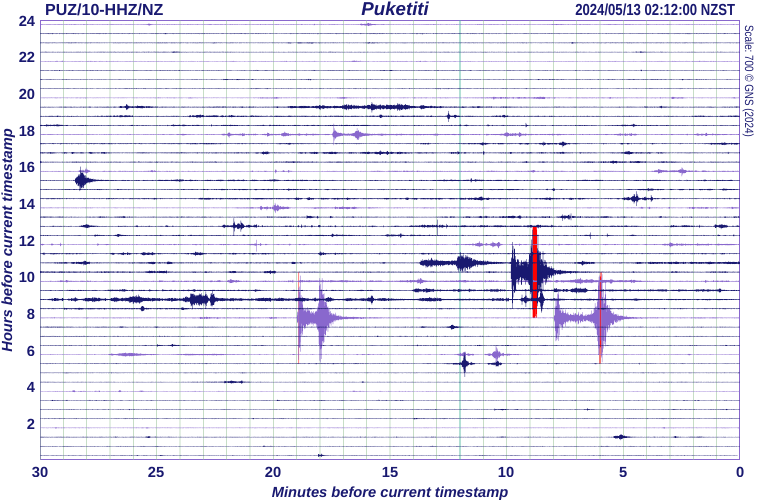
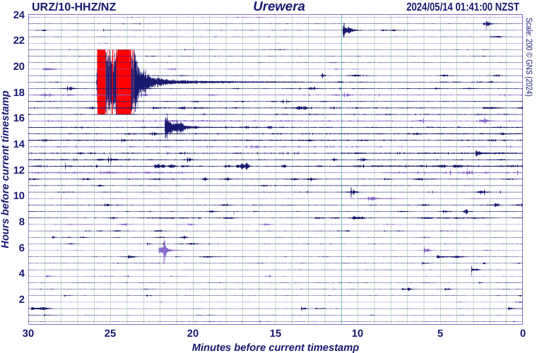
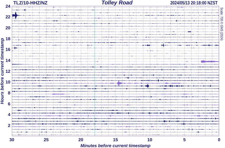
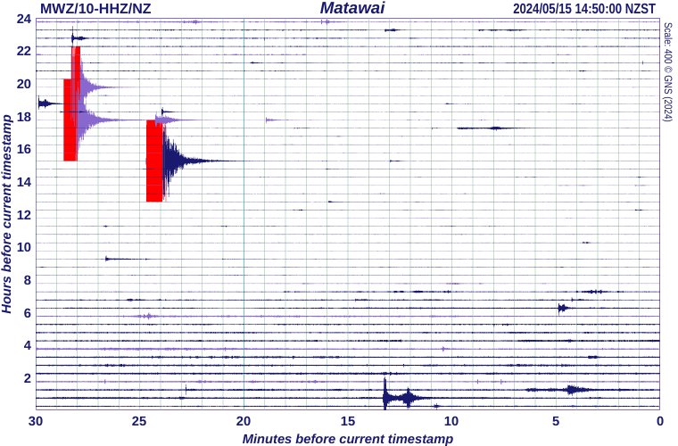
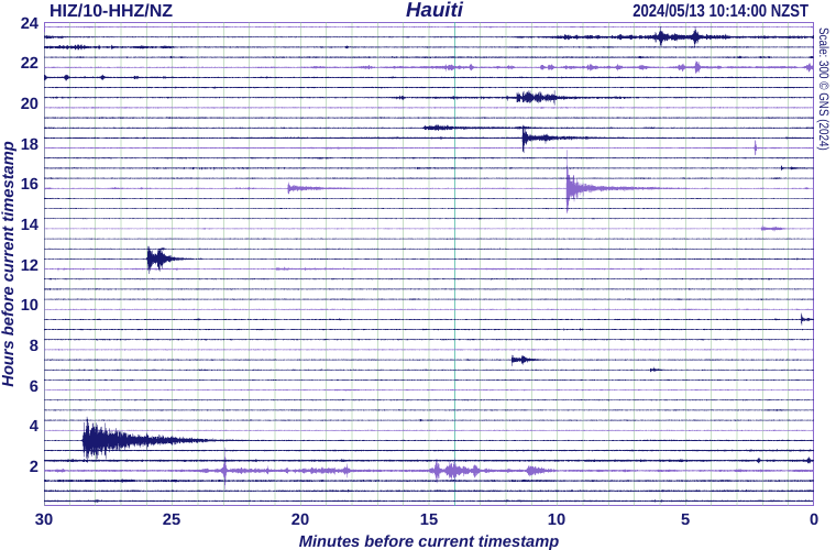
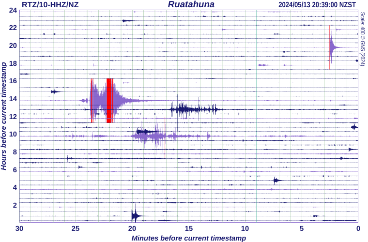
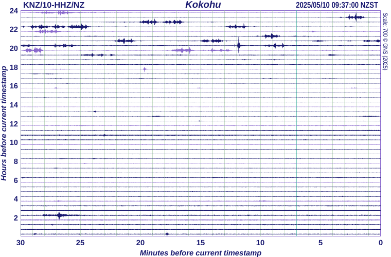
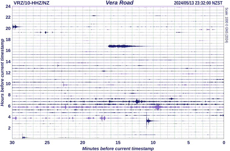
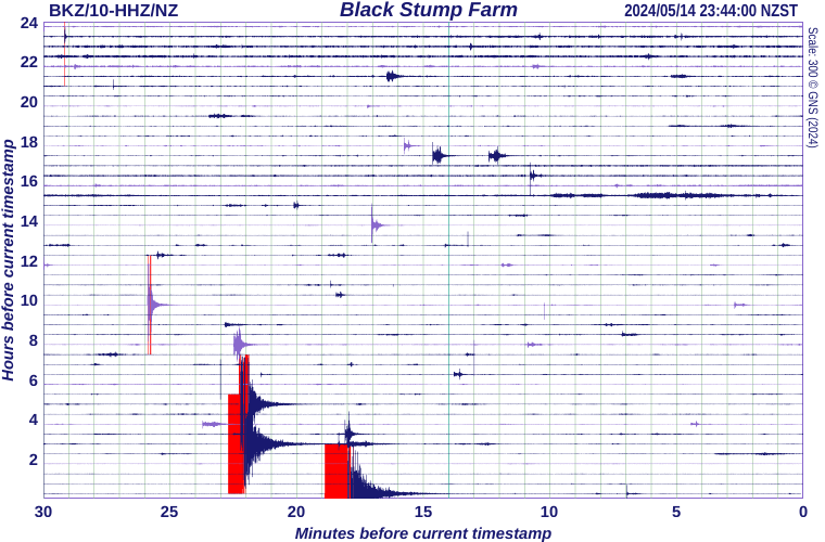
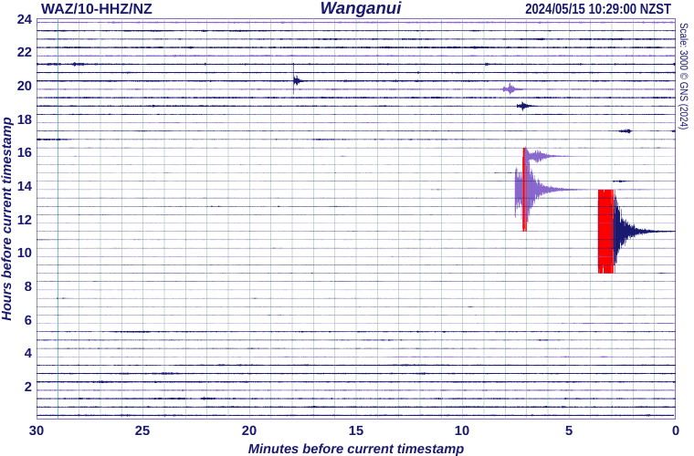
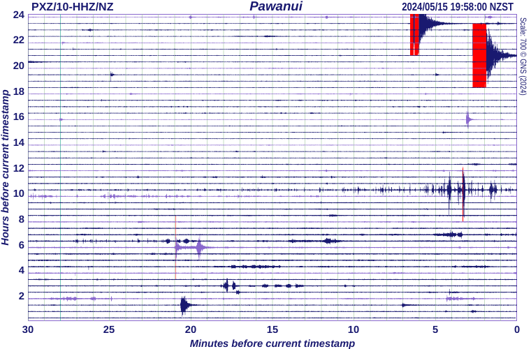
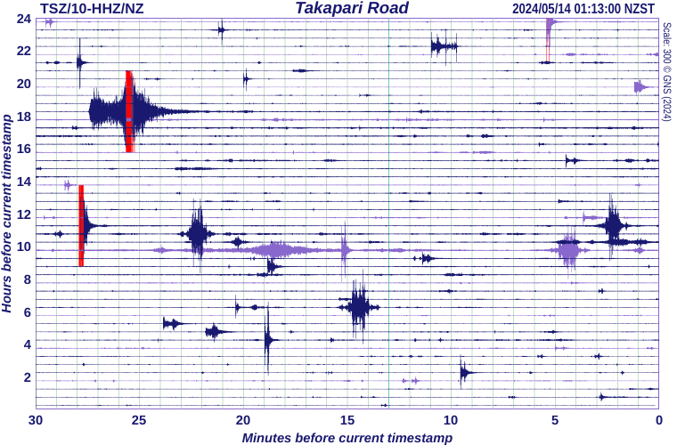
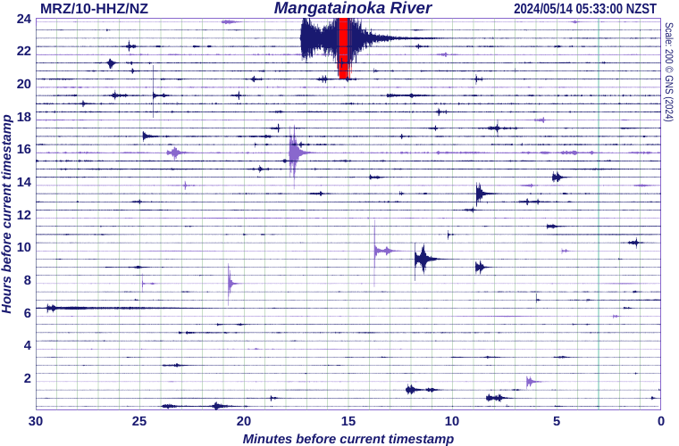
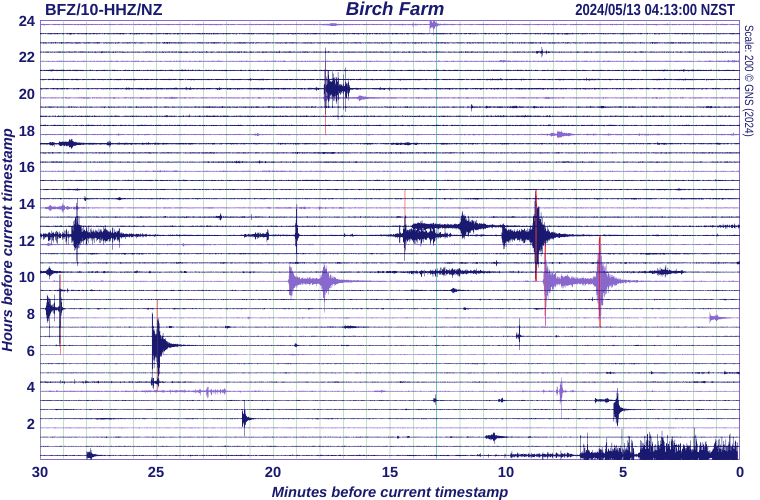
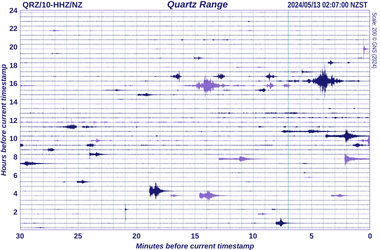
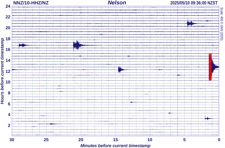
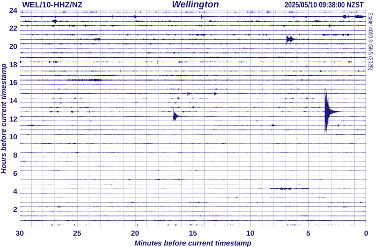
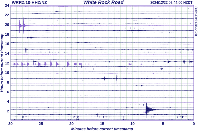
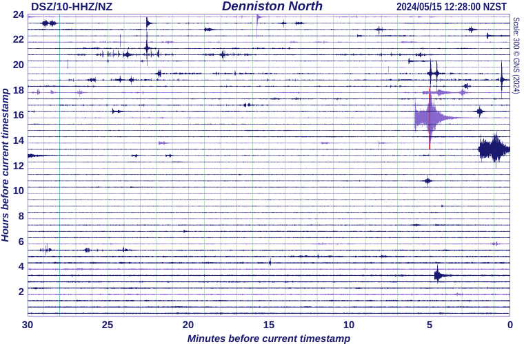
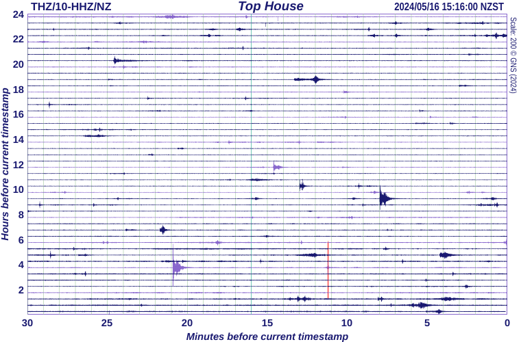
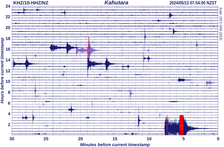
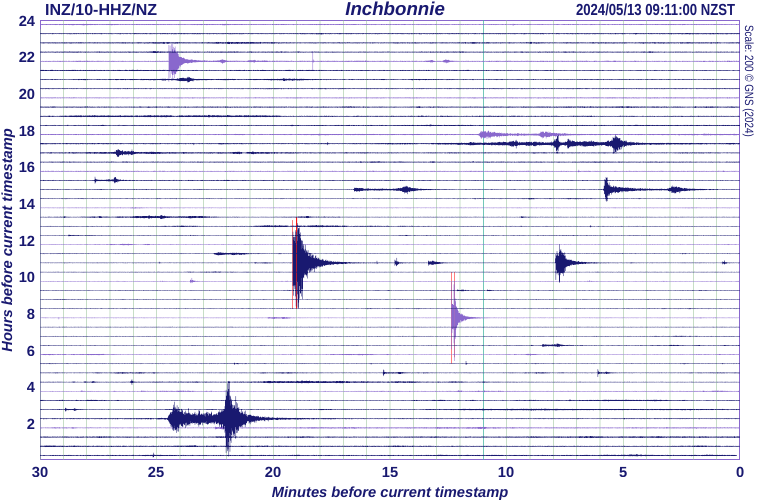
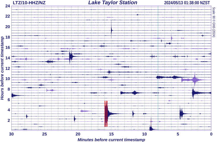
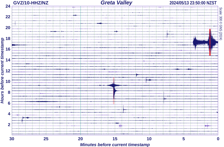
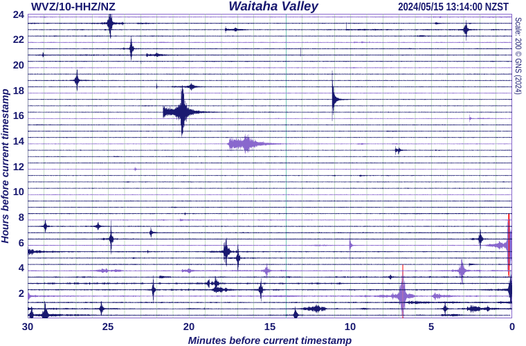
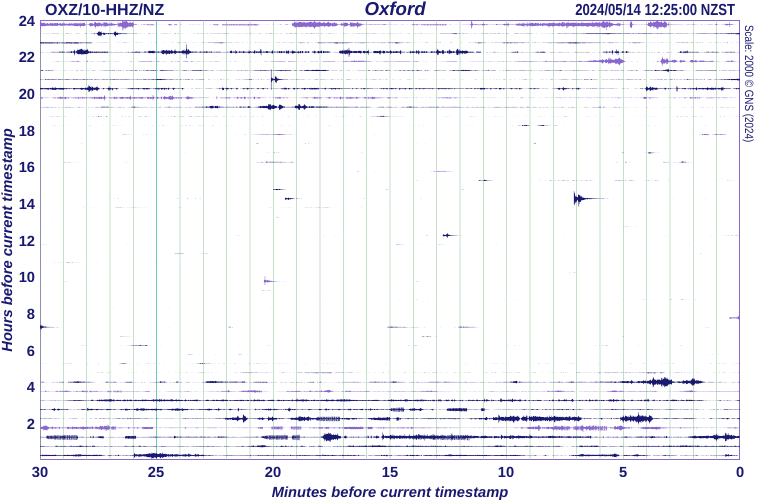
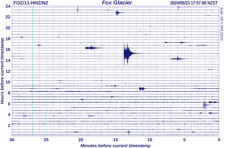
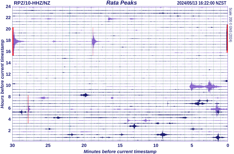
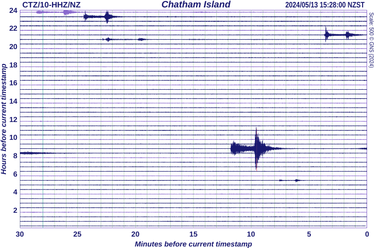
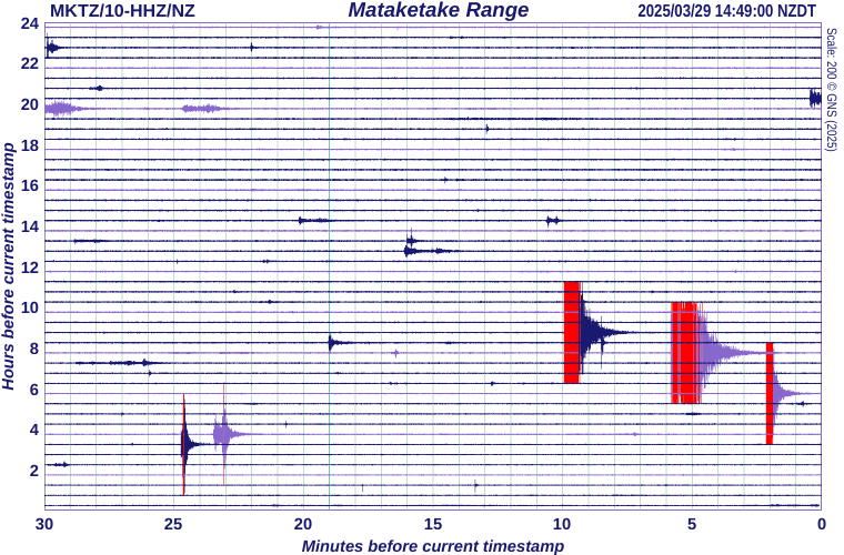
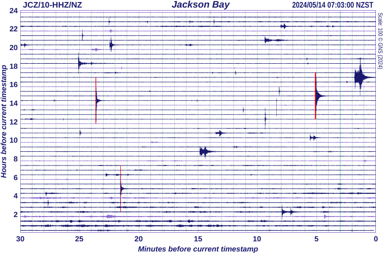
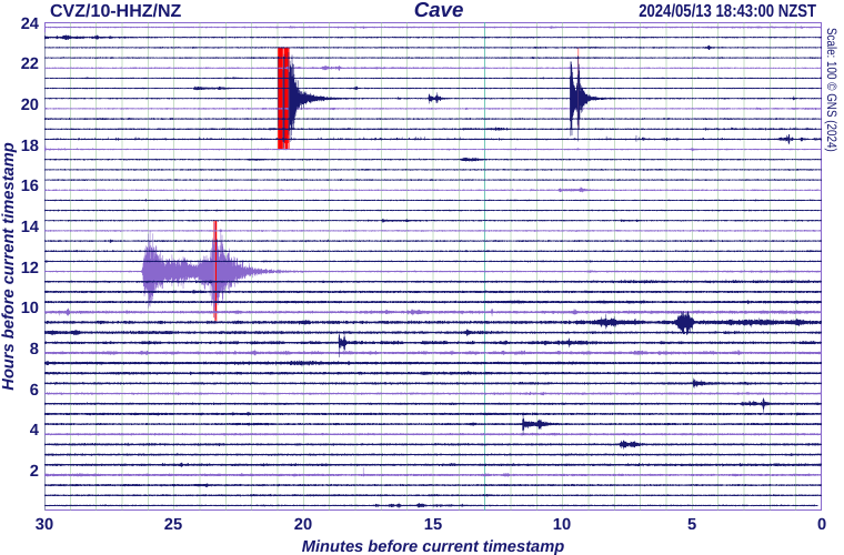
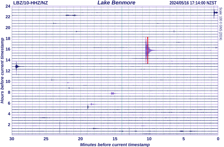
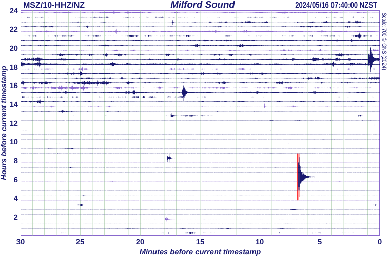
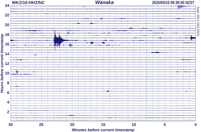
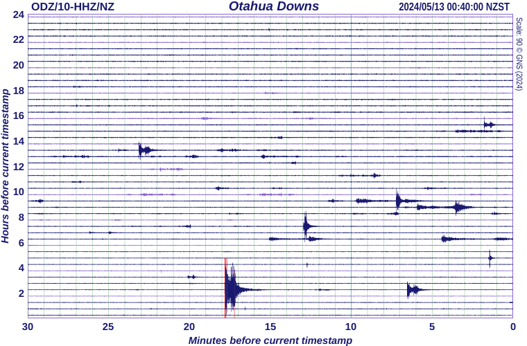
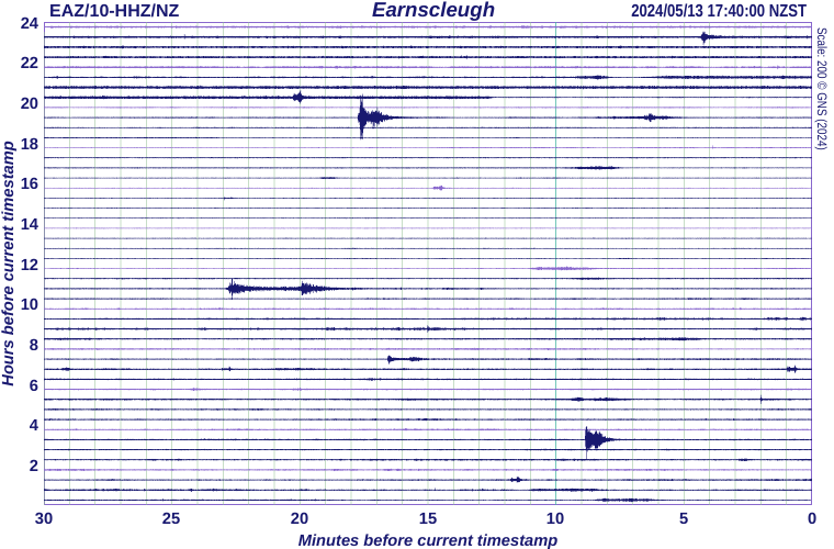
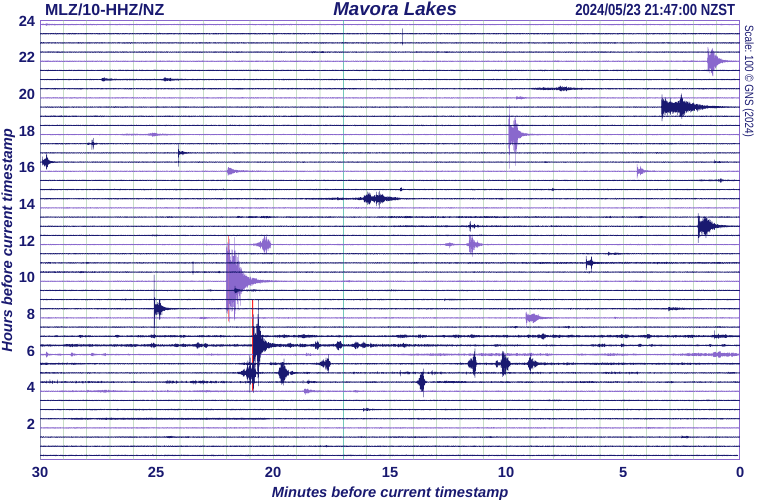
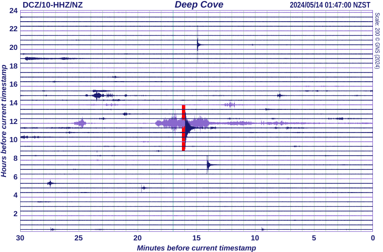
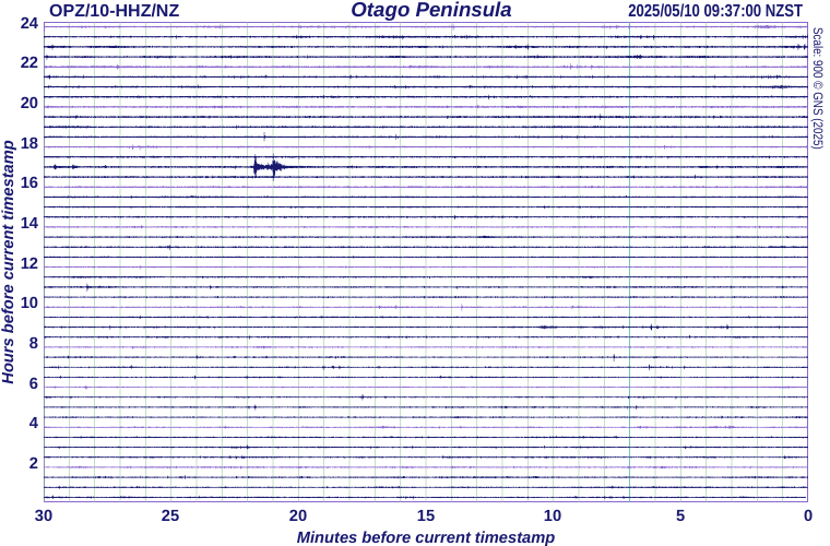
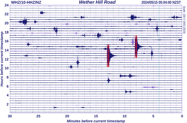
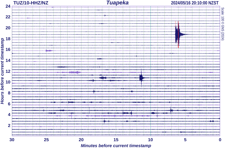
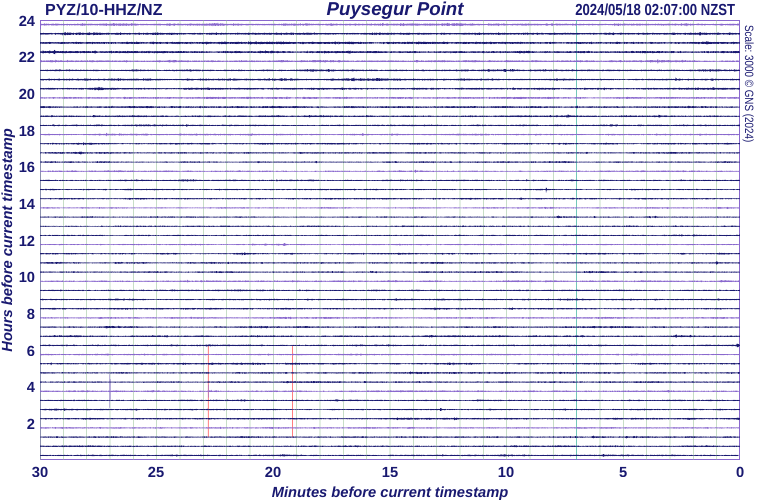
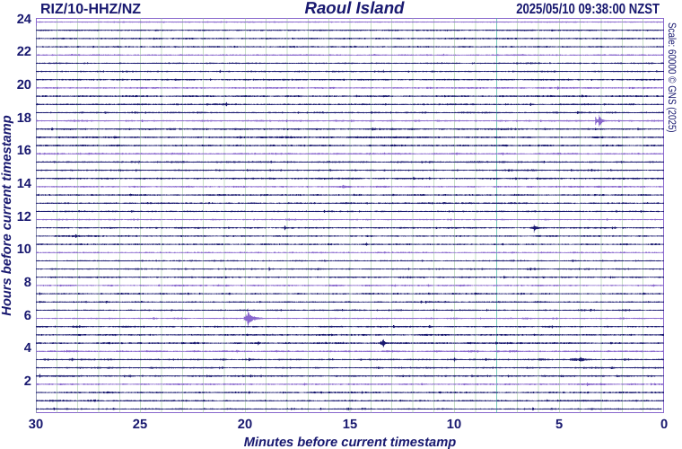
Earthquake drums display real-time ground motion recorded by seismometers across Aotearoa New Zealand. They help show when and where earthquakes are occurring and how the ground is moving. On this page, you can view live drum plots, understand what they show, and track recent seismic activity.
Map of New Zealand. Raoul Island Omahuta Waipu Caves Great Barrier Island Kuaotunu Waiatarua Matakaoa Point Tauranga Tahuroa Road Te Kaha Puketiti Urewera Tolley Road Matawai Hauiti Ruatahuna Kokohu Vera Road Black Stump Farm Wanganui Pawanui Takapari Road Mangatainoka River Birch Farm Quartz Range Nelson Wellington White Rock Road Denniston North Top House Kahutara Inchbonnie Lake Taylor Station Greta Valley Waitaha Valley Oxford Fox Glacier McQueen's Valley Rata Peaks Chatham Island Mataketake Range Jackson Bay Cave Lake Benmore Milford Sound Wanaka Otahua Downs Earnscleugh Mavora Lakes Deep Cove Otago Peninsula Wether Hill Road Tuapeka Puysegur Point Scrubby Hill The Paps
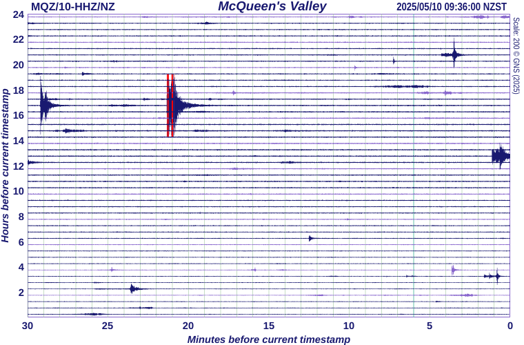
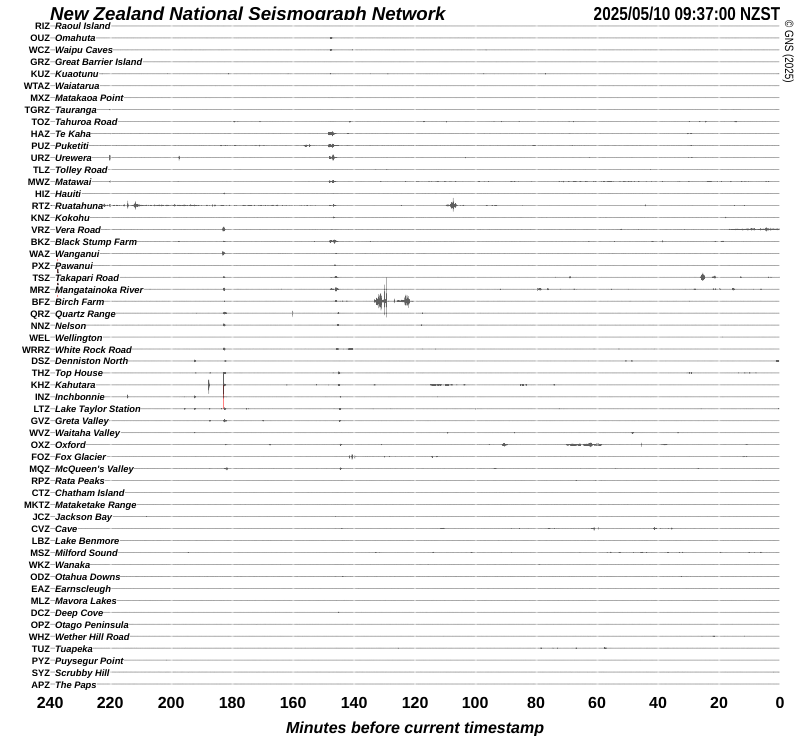
Four hours of traces from the national seismic network.
Show caption

Four hours of traces from the national seismic network.

The timestamp shown at the top right of the seismograph drum shown above is the time when this image was last refreshed. The previous four hours (240 minutes) of seismic signals (also known as traces) from all New Zealand National Seismograph Network recording sites are displayed, oldest to most recent from left to right. The stations are ordered from north to south. Earthquakes that have been felt would usually feature on several of these traces within minutes of each other. However, not all earthquakes that are widely recorded on these traces are felt by people.