
Historic Earthquakes
Find in-depth reports and data for New Zealand's most significant earthquake events.

Find in-depth reports and data for New Zealand's most significant earthquake events.
Started: 5 March 2021
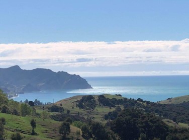
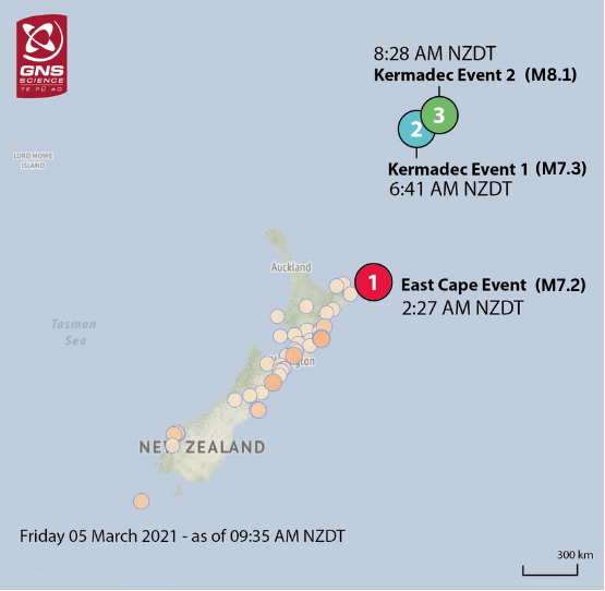
At 8:28 a.m., on Friday 5 March 2021 NZDT, a magnitude 8.1 earthquake struck the Rangitāhua/Kermadec Islands, 1025 km north-east of Whangarei.
Started: 5 March 2021
At 2:27 a.m., on Friday 5 March 2021 NZDT, a magnitude 7.2 earthquake struck 125 km east of Te Araroa, East Cape.
Started: 14 November 2016
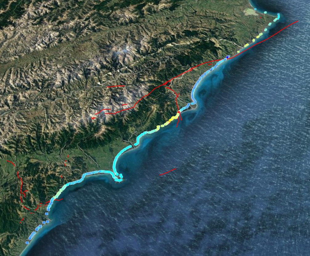
At 12.02 a.m., on Monday 14 November 2016 NZDT, a magnitude 7.8 earthquake struck 15 km north-east of Culverden, North Canterbury, starting near the town of Waiau.
Started: 2 September 2016
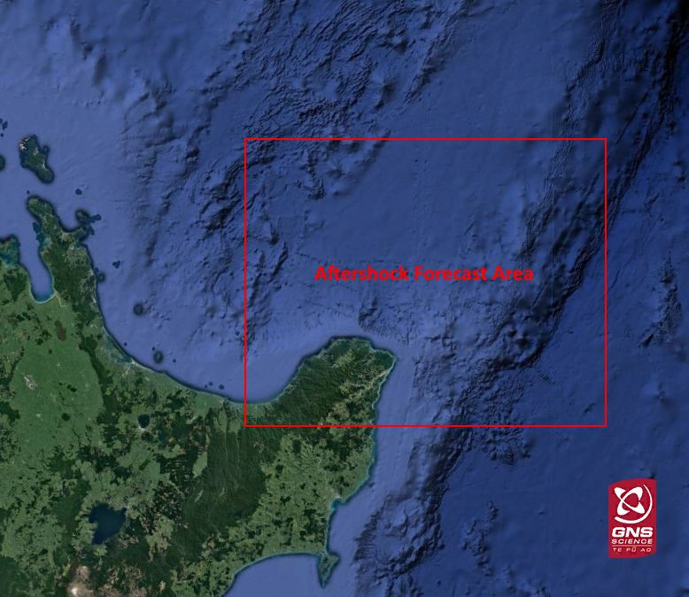
At 4.37 a.m., on the 2 September 2016, a magnitude 7.1 earthquake struck off the northern East Coast of North Island, 125 north-east of Te Araroa.
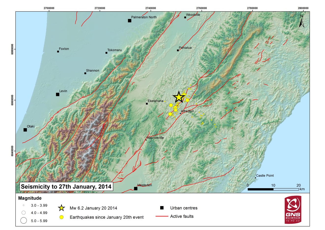
Started: 20 January 2014
This quake was widely felt in both islands. Strong shaking was reported as far as Palmerston North and Masterton.
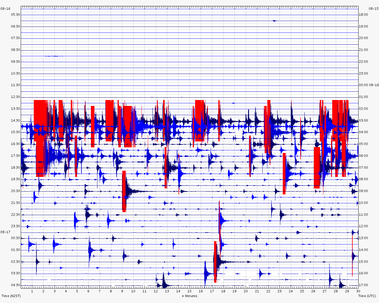
Started: 16 August 2013
This earthquake followed the magnitude 6.5 Cook Strait earthquake on 21st July. It caused damage to buildings on both sides of Cook Strait.
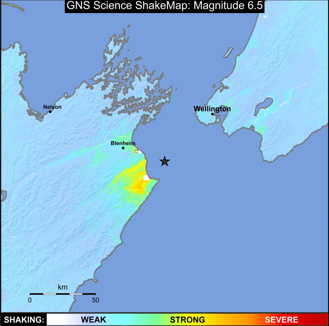
Started: 21 July 2013
This earthquake followed two earlier shakes of magnitude 5.7 and 5.8 in the previous two days. It caused damage to buildings on both sides of Cook Strait.
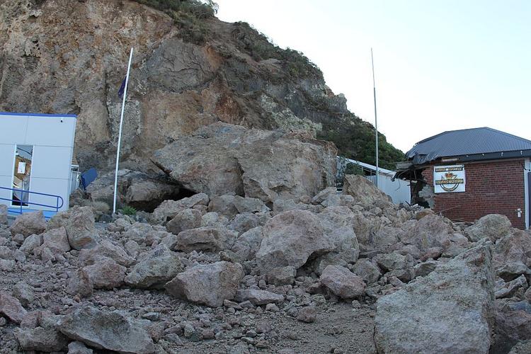
Started: 22 February 2011
The city of Christchurch experienced a major earthquake centred south of the city; severe damage and casualties occurred.
Started: 4 September 2010
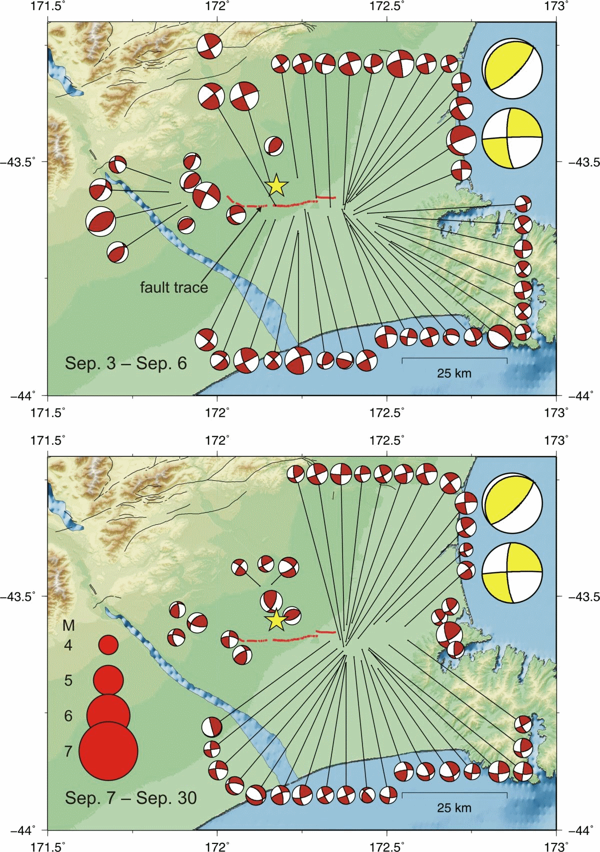
The Darfield earthquake caused severe building damage in mid-Canterbury, particularly to the city of Christchurch. It revealed the existence of a hidden west-east fault under the gravels of the Canterbury Plains.
Started: 15 July 2009
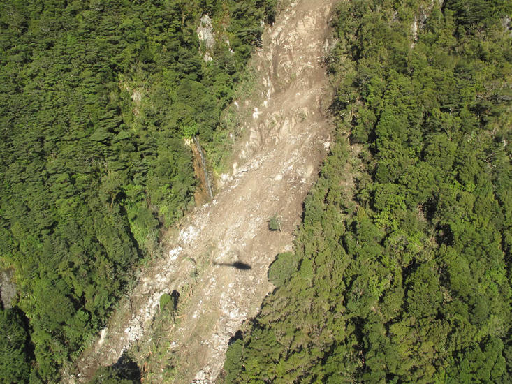
The earthquake which struck the Fiordland region in the evening of Wednesday 15 July was the biggest since the Buller and Hawke's Bay earthquakes of 1929 and 1931.
Started: 20 December 2007
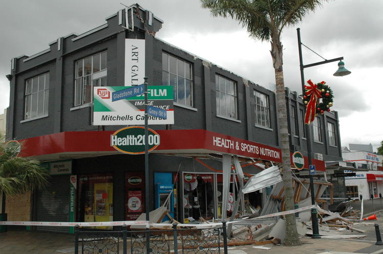
A magnitude 6.7 earthquake struck at 8:55 pm on Thursday 20 December. Located offshore, it caused damage to chimneys and buildings at several places along the East Coast, particularly in the Gisborne CBD.
Started: 16 October 2007
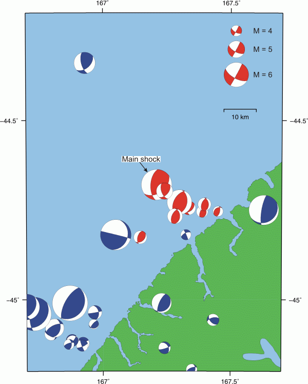
The lower South Island once again felt the tremors from a large earthquake off the coast of Fiordland in the vicinity of George Sound. The magnitude 6.7 quake struck at 1:29 am on Tuesday 16 October.
Started: 18 July 2004
This earthquake shook up the Bay of Plenty area in July 2004.
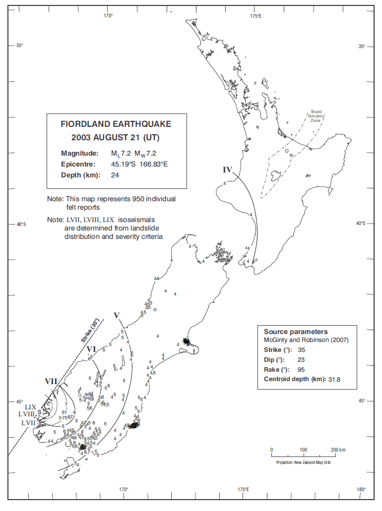
Started: 22 August 2003
This severe earthquake generated over 200 landslides and several small-scale tsunami on the South Island's west coast.
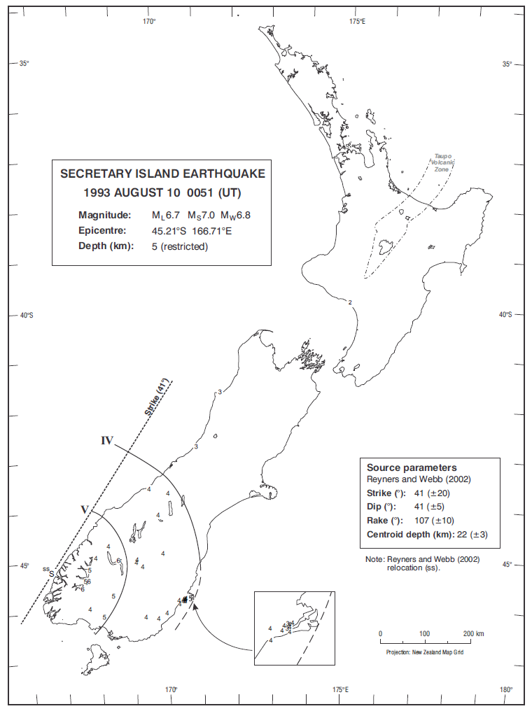
Started: 10 August 1993
The 1993 Secretary Island earthquake was reportedly felt as far away as Sydney, Australia.
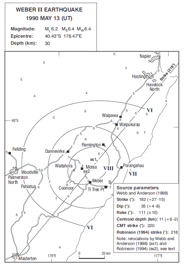
Started: 13 May 1990
This earthquake was the second large shock to strike the Weber region in 1990, occurring 12 weeks after its predecessor.
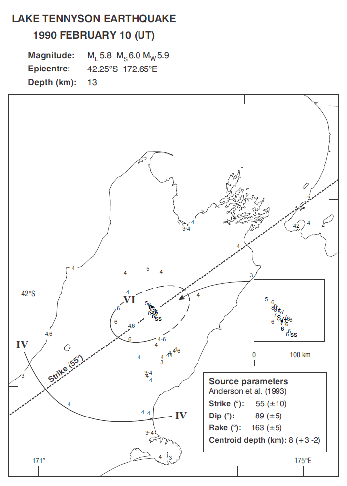
Started: 10 February 1990
This earthquake occurred in North Canterbury near Lake Tennyson.
Started: 4 June 1988
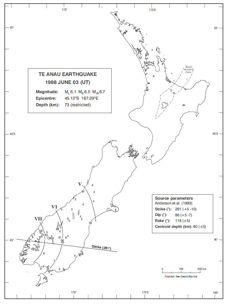
The earthquake that shook Te Anau in June 1988 triggered numerous landslides, and even cut the power to some southern towns.
Started: 2 March 1987
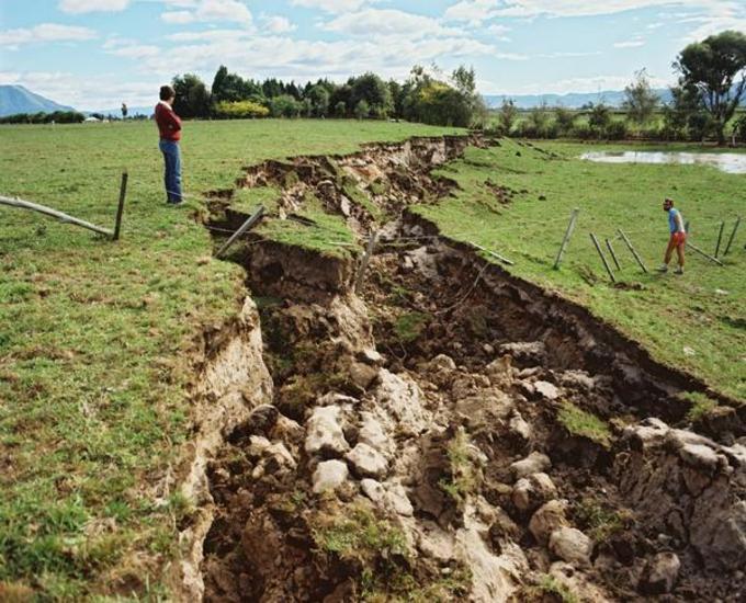
The shallow origin of this earthquake made it very destructive.
Started: 15 December 1983
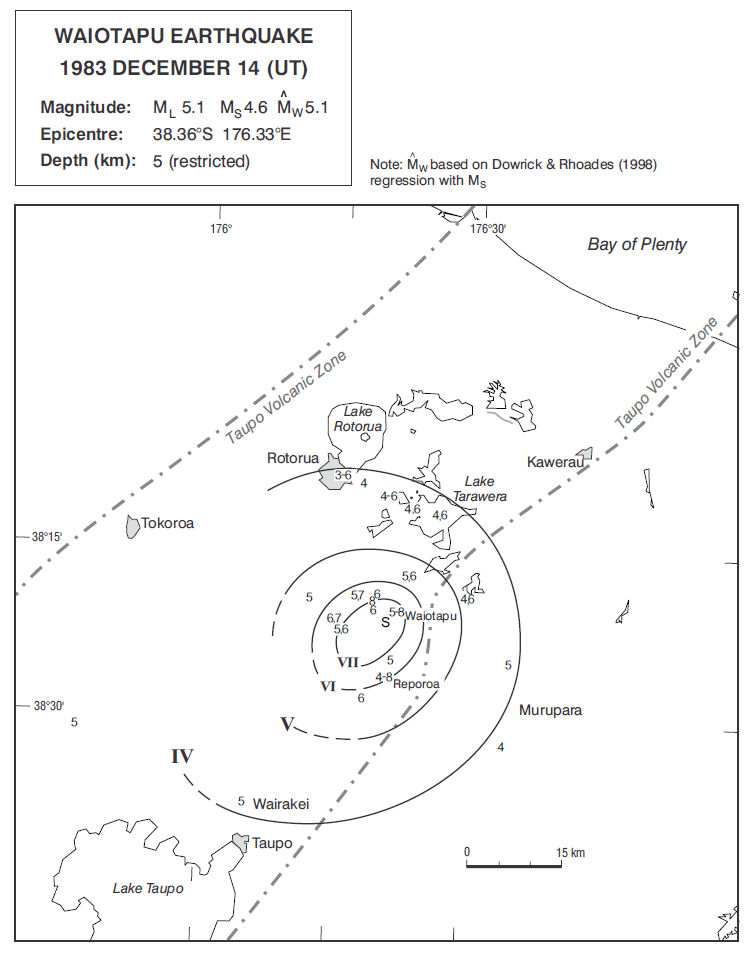
This earthquake reached its greatest intensities around Waiotapu and the Waikite Valley.
Started: 6 October 1980
This earthquake was felt most strongly in the Napier and Taradale regions.
Started: 5 December 1976
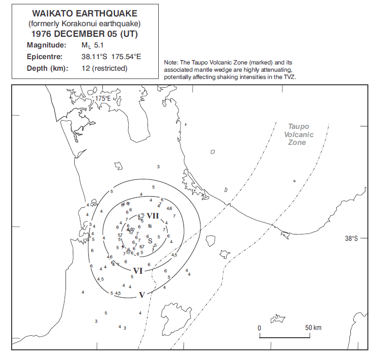
This earthquake struck the rural area around Korakonui, near the Waikato River.
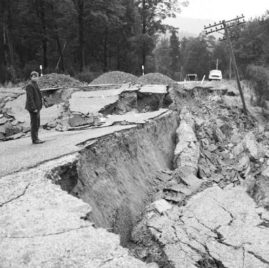
Started: 24 May 1968
The 1968 Inangahua earthquake caused widespread damage and was felt over much of the country.
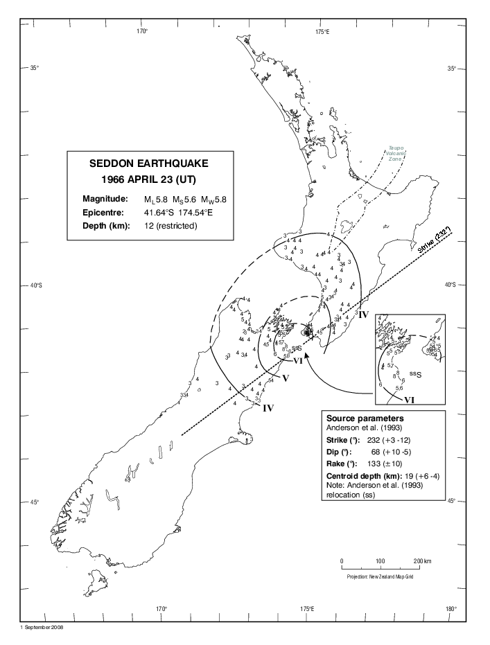
Started: 23 April 1966
This shock was centered near Cape Campbell, but was felt as far away as Hokitika and Taranaki.
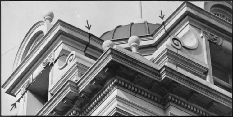
Started: 2 August 1942
The shock that struck the Wairarapa Region on 2 August was nearly as severe as the disastrous 24 June earthquake 5 weeks earlier.
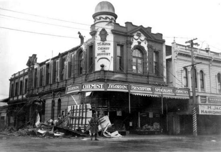
Started: 24 June 1942
This earthquake severely rocked the lower North Island on June 24 1942, causing extensive damage to local buildings.
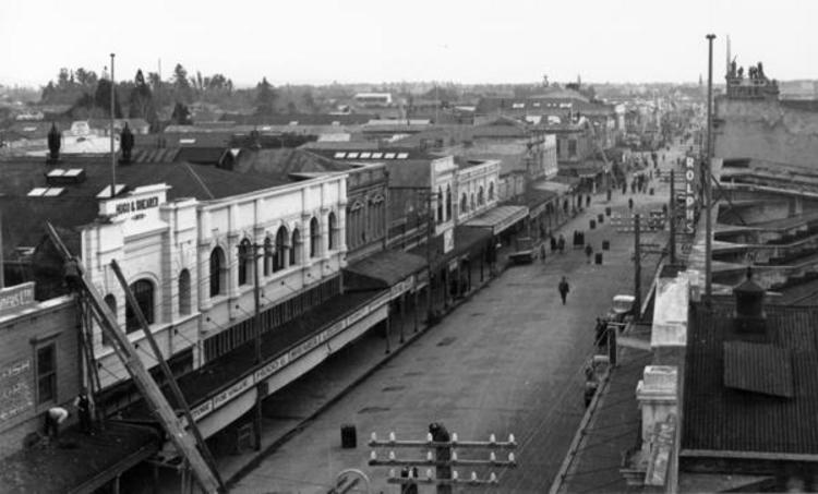
Started: 5 March 1934
The 1934 Horoeka (Pahiatua) earthquake shook the lower North Island on 5 March 1934 and was felt as far away as Auckland and Dunedin.
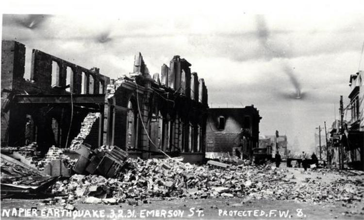
Started: 3 February 1931
The 1931 Hawke’s Bay earthquake caused the largest loss of life and most extensive damage of any quake in New Zealand’s recorded history.
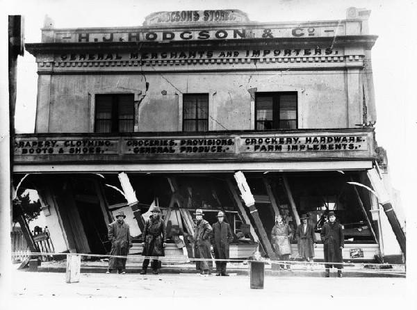
Started: 17 June 1929
The massive rumbling of the 1929 Buller earthquake was heard as far away as New Plymouth.
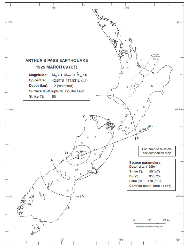
Started: 9 March 1929
This earthquake toppled chimneys and furniture in the Arthur's Pass area.
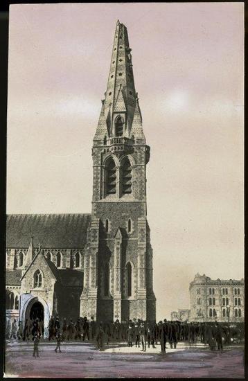
Started: 1 September 1888
In 1888 the Amuri District was shaken by a large earthquake that reached intensities of MM 9.
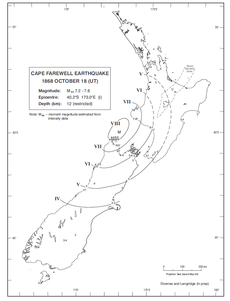
Started: 19 October 1868
This earthquake caused damage to houses and roads around the Farewell Spit area.
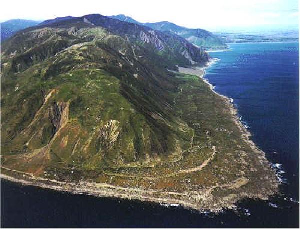
Started: 23 January 1855
The 1855 earthquake is the most severe earthquake to have occurred in New Zealand since systematic European colonisation began in 1840.
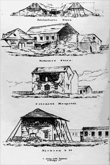
Started: 16 October 1848
The earthquake that shook Marlborough on Monday, 16 October 1848 was the largest in a series of earthquakes to hit the region that year.