GeoNet beta

You're viewing phase one of the GeoNet beta site. Features and content may change. Read this news article to find out what's happening. www.geonet.org.nz continues to run as usual.

Magnitude 7.1

Friday August 22, 2003 - 12:12 AM, 70 km west of Te Anau

There were two components to this tsunami; one originated from earthquake deformation, the other by a landslide triggered by the earthquake.
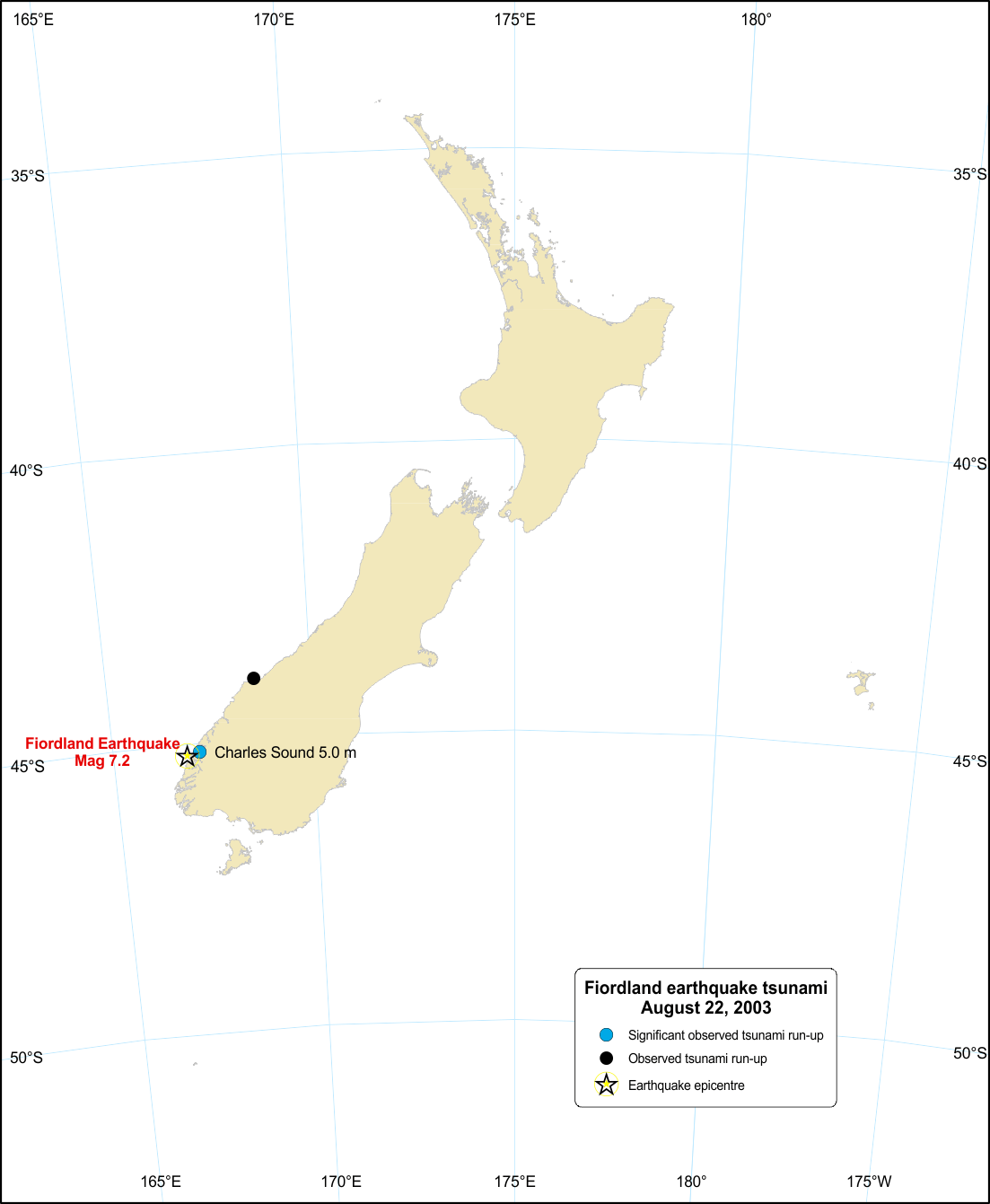
Run-up for Fiordland earthquake tsunami
Hide caption

Run-up for Fiordland earthquake tsunami

The 22 August 2003, 12:12 am (NZST) Mw 7.2 Fiordland earthquake caused a tsunami from two separate components:

  1. One tsunami was very localised and was generated by an earthquake-triggered sub-aerial landslide that caused run-ups of 4-5m, damaged a wharf and affected several hundreds of metres of shoreline in Charles Sound.
  2. The other tsunami, generated by deformation along the Tasman Sea coast, was recorded on tide gauges at Jackson Bay (0.3m peak-to-trough) 190km north-east of the epicentre, and at Port Kembla (0.17m peak-to-trough) on the east coast of Australia.

Modelling of this tsunami indicates that tsunami arrival times are compatible with the timing of the mainshock and the wave amplitudes are consistent with the estimated offshore co-seismic deformation (uplift) of close to 0.5m vertically determined by preliminary modelling of post-earthquake GPS data.