
This earthquake toppled chimneys and furniture in the Arthur's Pass area.
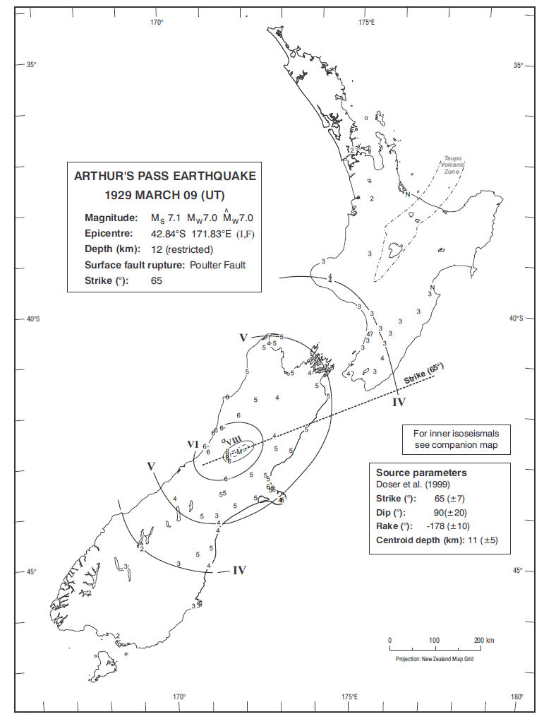
Isoseismal map of the Arthur's Pass earthquake. Courtesy Atlas of isoseismal maps of New Zealand earthquakes (2nd edition): Downes, G.L.; Dowrick, D.J.
At 10:50 pm local time on 9 March 1929, a severe earthquake struck the small, isolated communities of Arthur's Pass and Otira, toppling chimneys and throwing furniture. The earthquake was felt throughout the South Island and as far north as Taranaki and Napier in the North Island.
