
An eruption may occur at any level, and levels may not move in sequence as activity can change rapidly.
All volcanoesThe last major eruption of Taranaki Maunga occurred around 1854; the mountain dominates the productive farmland of the Taranaki region.

The classic cone shape of Taranaki Maunga.
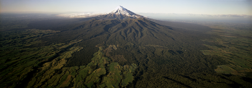
View of Taranaki Maunga, with surrounding eruption deposits.
The 2518 m tall cone volcano last erupted about 150 years ago at the culmination of several eruptions in the preceding few hundred years. The western 1500 km2 of the Taranaki region is a volcanic landscape that has been constructed from the products of volcanic eruptions principally derived from the volcano. These deposits around the base of the volcano record intermittent volcanic activity at this site for the last 130,000 years.
On three occasions, twice within a very short period of geological time, former cones have collapsed to the north-east, south-east and the west. In each instance extremely large volumes of material flowed more than 40 km across the landscape, reaching the present Taranaki coastline. They have created the distinctive mounds or hummocks on the lowlands surrounding the volcano.
