GeoNet beta

You're viewing phase one of the GeoNet beta site. Features and content may change. Read this news article to find out what's happening. www.geonet.org.nz continues to run as usual.

Ruapehu

1
Alert level
Alert level: 1 ACC: Green
State The overall status of the volcano in relation to volcanic activity.
Unrest
Volcanic activity The specific level of activity currently observed.
Minor volcanic unrest.
Most Likely Hazards The types of hazards and where they could affect people and property at this alert level.
Volcanic unrest hazards.

An eruption may occur at any level, and levels may not move in sequence as activity can change rapidly.

All volcanoes
Cone Cone-shaped volcano, often with a summit crater.

Overview

In addition to the usual volcanic hazards, the crater lake of Ruapehu ejects frequent lahars.
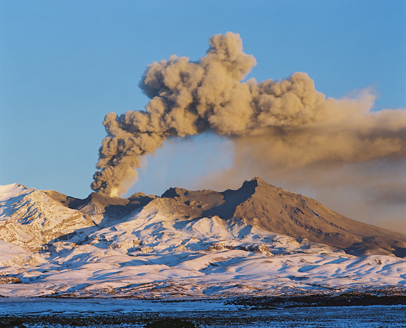
At 2797 m, Ruapehu is the highest mountain in the North Island. Three summit craters have been active during the last 10,000 years including South Crater which contains the currently active vent. The active vent is filled by Crater Lake; water from this lake is frequently ejected on to the ice and snow during eruptions causing lahars.

Most Recent Eruption

When
25 September 2007
Where
Ruapehu
Effects
This was an explosive eruption, lasting about 7 minutes. During the eruption explosions spread ash, rocks and water across the summit area, producing lahars in two valleys including one in the Whakapapa ski field. In contrast with the previous eruptions in 1996, there was no high ash plume to produce ash fallout over a wide area.