GeoNet beta

You're viewing phase one of the GeoNet beta site. Features and content may change. Read this news article to find out what's happening. www.geonet.org.nz continues to run as usual.

Volcano Cameras

Explore the latest volcano images from our remote camera network alongside an interactive map of camera locations and monitored volcanoes. These images help track current volcanic activity and site conditions. Click on an image or camera icon to view the latest observations and additional imagery from that location.
About volcano cameras

It is not possible to visit a volcano every day, so we now use remotely operated cameras to supplement our observations. The cameras we use are specifically designed for remote operation. They are setup to take an image very second and then transmit an image every 10 minutes to our data centres and website, while storing the 1 second data for about a week in case we find we need it.

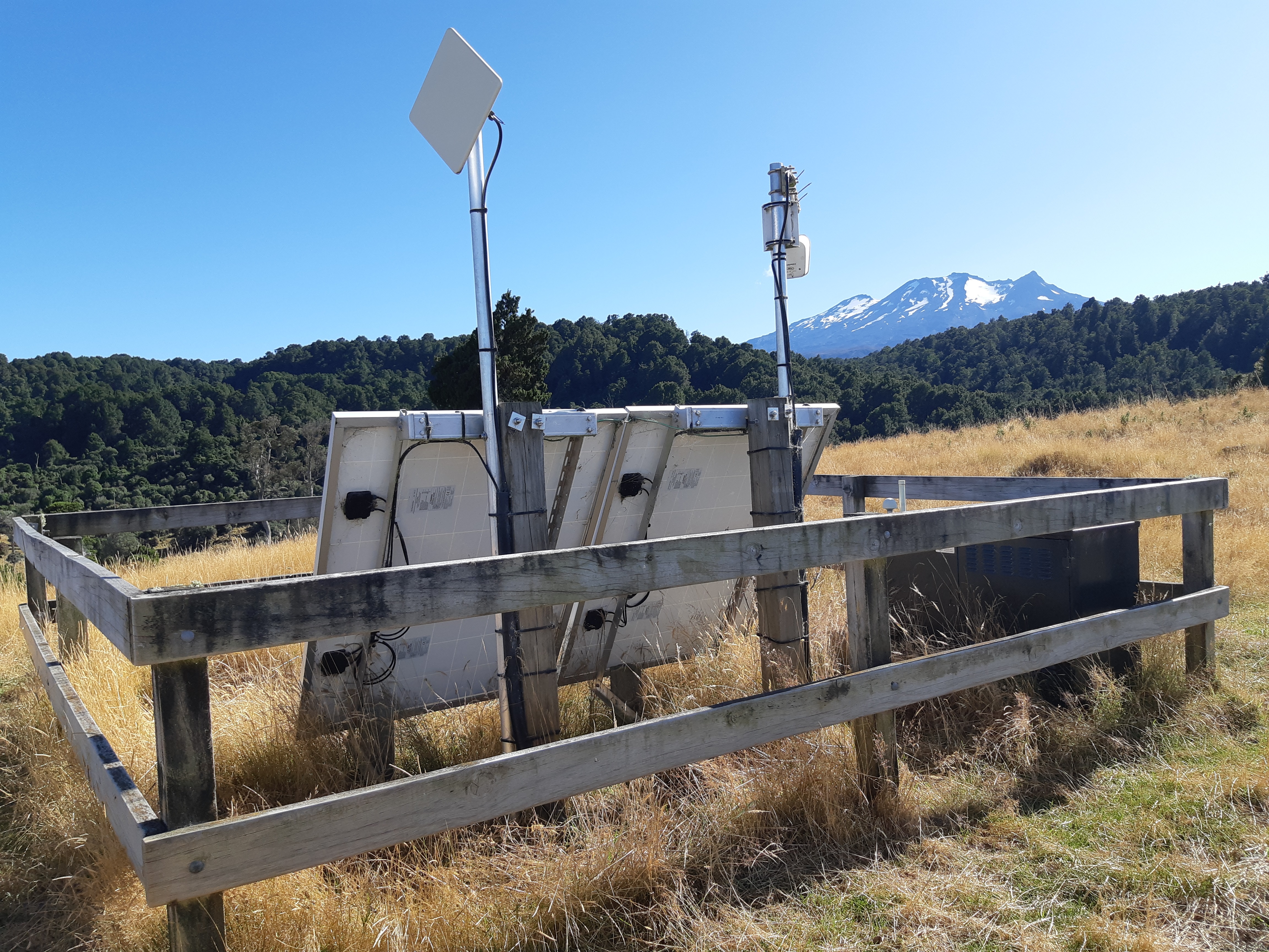
'Ruapehu South' volcano camera
Hide caption

'Ruapehu South' volcano camera

Several of the cameras are some distance from the volcano, some are based at locations where we have power and communications. However, some of the cameras in remote locations such as Tongariro National Park are solar powered. The images are then transferred to our data centres and onto the website across internet data links. Our cameras have both daylight and low light cameras installed, allowing pictures to be taken at night when there is enough ambient light such as from a full moon. If we wish to see images during unrest or an eruption, we can download the high data rate images as needed.

We are thankful for the organisations who support us in using their properties and land to house our equipment.

See here for more information on How we monitor volcanoes in New Zealand.