GeoNet beta

You're viewing phase one of the GeoNet beta site. Features and content may change. Read this news article to find out what's happening. www.geonet.org.nz continues to run as usual.

Port Hills, Christchurch Landslide Monitoring

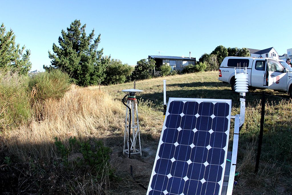
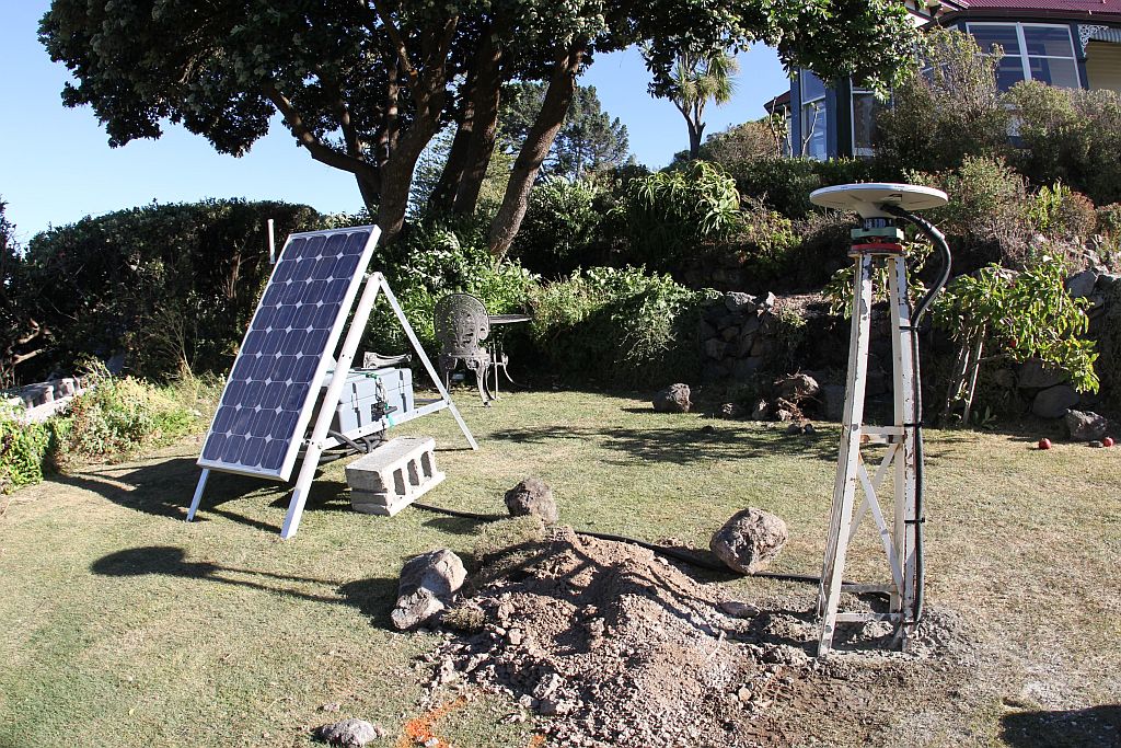
After the 22 February 2011 Christchurch earthquake, GNS Science installed continuous GPS (cGPS), water-level, and rainfall monitoring equipment on selected landslides in the Port Hills suburbs of Christchurch.
About Port Hills landslide monitoring

The purpose of the monitoring is to provide data for research into the post-earthquake performance of these landslides. The equipment is not maintained to provide an automated hazard warning. Installation and monitoring of the sites is carried out under the GeoNet project. The monitoring data are freely available to anyone via the links below.

Installed Equipment

The equipment is powered by batteries with solar recharge. The collected data are sent via the mobile phone network to the GeoNet Data Centre in Lower Hutt.

Installed Monitoring Equipment

Site codeEquipment installedDate installedComments
V27BcGPS9/03/2011Removed
V47BcGPS9/03/2011Removed
CLSKcGPS2/03/2011Operational
CLSGcGPS2/03/2011Removed
CLS3cGPS21/06/2011Operational
CLS4cGPS21/06/2011Removed
CLS5cGPS21/06/2011Operational
CLS6cGPS13/10/2011Operational
WPAWater level3/11/2011Removed
WPBWater level1/11/2011Removed
WPCWater level31/10/2011Removed
WPDWater level1/10/2011Removed
WS1Weather station9/03/2011Removed

Monitoring of these sites does not mean that continuing movement is necessarily expected to occur. However, if future movement of these sites were to occur, then the information from the monitoring would be useful to assess what factors may have contributed to the movement. These factors typically include rainfall and/or further earthquakes.

How are the data used?